Location Search results for "Tampa" in Florida
You may find "Tampa" in these Florida atlases:
Click on a column header to sort results table.
|
Atlas |
|
Publisher |
Date |
 |
Hillsborough County 1957 |
 |
J. M. Smedley |
1957 |
 |
Hillsborough County 1967 |
|
J. M. Smedley |
1967 |
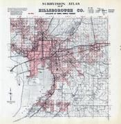 |
Hillsborough County 1970 Subdivision |
|
J. M. Smedley |
1970 |
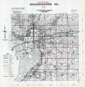 |
Hillsborough County 1971 |
|
J. M. Smedley |
1971 |
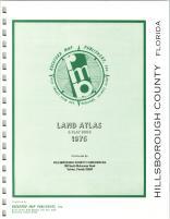 |
Hillsborough County 1976 |
  |
Rockford Map Publishers, Inc. |
1976 |
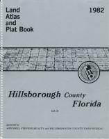 |
Hillsborough County 1982 |
|
Rockford Map Publishers, Inc. |
1982 |
 |
Hillsborough County 1987 |
|
Rockford Map Publishers, Inc. |
1987 |
 |
Hillsborough County 1989 |
|
Rockford Map Publishers, Inc. |
1989 |
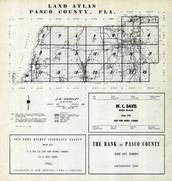 |
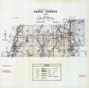
Pasco County 1954 |
|
J. M. Smedley |
1954 |
 |
Pasco County 1960 |
|
J. M. Smedley |
1960 |
 |
Pasco County 1964 |
|
J. M. Smedley |
1964 |
 |
Pasco County 1970 |
|
J. M. Smedley |
1970 |
 |
Pasco County 1973 |
|
Rockford Map Publishers, Inc. |
1973 |
 |
Pasco County 1975 |
|
Rockford Map Publishers, Inc. |
1975 |
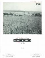 |
Pasco County 1981 |
|
Rockford Map Publishers, Inc. |
1981 |
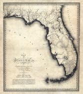 |
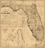
Florida State Map 1823 |
 |
Charles Blacker Vignoles |
1823 |
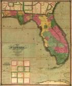 |
Florida 1829 State Map |
|
Searcy, I.G. |
1829 |
 |
Florida 1839 State Map |
|
United States Army Corps of Engineers |
1839 |
 |
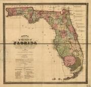
Florida 1846 State Map |
|
Bruff, Joseph Goldsborough |
1846 |
 |
Florida 1856 State Map |
|
Drew, Columbus |
1856 |
 |
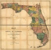
Florida 1874 State Map |
|
Drew, Columbus |
1874 |
 |
Florida 1891 State Map |
|
Matthews-Northup Company |
1891 |
Sorry, we couldn't find any maps of "Tampa". However, many cities and towns are incorporated into county atlases.
Click the button below to browse all of our Florida atlases.
Florida Atlases

 Cart
Cart