
 Cart
CartLocation Search results for "Bourne" in Massachusetts
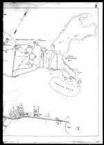
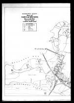
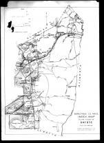
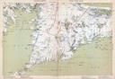
Map Matches for "Bourne" (22) in Massachusetts
Click on a column header to sort results table.


Atlas Matches for "Bourne" (0) in Massachusetts
You may find "Bourne" in these Massachusetts atlases:
Click on a column header to sort results table.
| Atlas | Publisher | Date | ||
|---|---|---|---|---|
 |
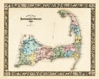
Barnstable County 1880 |     |
Geo. H. Walker & Co. | 1880 |
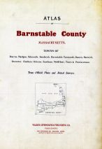 |
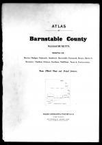
Barnstable County 1905 | |
Walker Lithograph & Publishing Co. | 1905 |
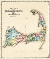 |
Barnstable County and Cape Cod 1880 Single Map A |  |
Geo. H. Walker and Co. | 1880 |
 |
Barnstable County and Cape Cod 1880 Single Map B | |
Historic Map Works | 1880 |
 |
Barnstable County 1910 | |
Walker Lithograph and Publishing Company | 1910 |
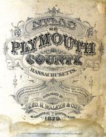 |
Plymouth County 1879 | |
Geo. H. Walker & Co. | 1879 |
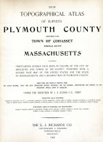 |
Plymouth County and Cohasset Town 1903 | |
L.J. Richards | 1903 |
 |
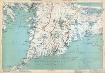
Massachusetts State Atlas 1871 | |
Stedman, Brown and Lyon | 1871 |
 |
Massachusetts State Atlas 1891 | |
Geo. H. Walker & Co. | 1891 |
 |
Boston 1840 View of State Street |  |
W. H. Bartlett | 1840 |
 |
Massachusetts State Atlas 1900 | |
Geo. H. Walker & Co. | 1900 |
 |
Massachusetts State Atlas 1904 | |
Geo. H. Walker & Co. | 1904 |
 |
Massachusetts State Atlas 1909 | |
Walker Lithograph & Publishing Co. | 1909 |
 |
Boston 1722 Captain John Bonner Survey third state likely produced in 1725 MHS Digital Image 5023 |  |
Capt. John Bonner | 1722 Likely 1725 |