
 Cart
CartLocation Search results for "Buffalo" in New York
Map Matches for "Buffalo" (29) in New York
Click on a column header to sort results table.


Atlas Matches for "Buffalo" (8) in New York
Click on a column header to sort results table.
| Name | Publisher | Date | ||
|---|---|---|---|---|
 |
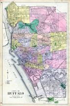
Buffalo 1850 to 1899 - 04x069.3 |   |
Charles Magnus | Unattributed |
 |
Buffalo 1850 to 1899 Bird's Eye View - 79x258.5 |  |
Charles Magnus | Unattributed |
 |
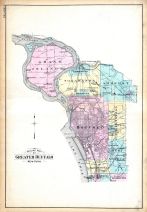
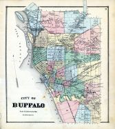
Buffalo 1872 |   |
G. M. Hopkins & Co. | 1872 |
 |
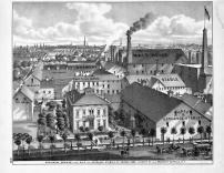
Buffalo 1880 Bird's Eye View | |
Maerz Lithographing Co. | 1880 |
 |
Buffalo 1902 Bird's Eye View | |
Landis and Alsop | 1902 |
 |
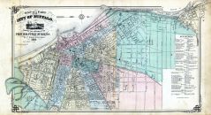
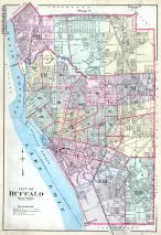
Buffalo 1915 Vol 1 | |
Century Atlas | 1915 |
 |
Buffalo 1915 Vol 2 | |
Century Atlas | 1915 |
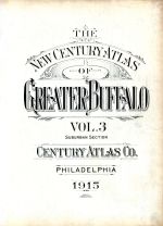 |
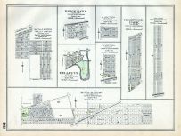
Buffalo 1915 Vol 3 Suburban | |
Century Atlas | 1915 |
You may find "Buffalo" in these New York atlases:
Click on a column header to sort results table.
| Atlas | Publisher | Date | ||
|---|---|---|---|---|
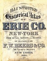 |
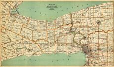
Erie County 1880 |  |
F. W. Beers & Co. | 1880 |
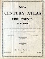 |
Erie County 1909 | |
Century Map Co. | 1909 |
 |
Erie County 1866 | |
Stone and Stewart | 1866 |
 |
Erie County 1938 | |
Niagara Frontier Planning Board | 1938 |
 |
Erie County 1940 |  |
Rural Surveys Inc. | 1940 |
 |
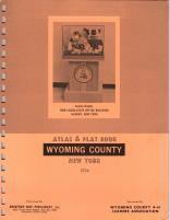
Wyoming County 1902 | |
Century Map Co. | 1902 |
 |
Genesee and Wyoming County 1866 | |
Stone & Stewart | 1866 |
 |
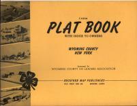
Wyoming County 1956 | |
Rockford Map Publishers, Inc. | 1956 |
 |
Wyoming County 1960 | |
Rockford Map Publishers, Inc. | 1960 |
 |
Wyoming County 1966 | |
Rockford Map Publishers, Inc. | 1966 |
 |
Wyoming County 1970 | |
Rockford Map Publishers, Inc. | 1970 |
 |
Wyoming County 1974 | |
Rockford Map Publishers, Inc. | 1974 |
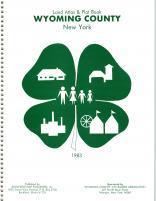 |
Wyoming County 1983 | |
Rockford Map Publishers, Inc. | 1983 |
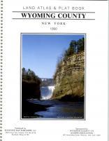 |
Wyoming County 1990 | |
Rockford Map Publishers, Inc. | 1990 |
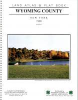 |
Wyoming County 1998 | |
Rockford Map Publishers, Inc. | 1998 |
 |
Delaware County 1869 | |
F. W. Beers | 1869 |
 |
Niagara County 1908 | |
Century Map Co. | 1908 |
 |
Niagara County 1938 | |
Niagara Frontier Planning Board | 1938 |
 |
Niagara County 1939 | |
Rural Surveys, Inc. | 1939 |
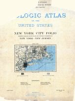 |
New York City 1902 Geological Atlas of the United States Vol 83 | |
U.S. Geological Survey | 1902 |
 |
New York State 1890 to 1908 Walker Maps | |
Geo. H. Walker & Co. Boston | 1890 |
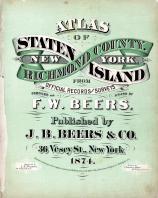 |
Staten Island and Richmond County 1874 | |
J. W. Beers and Co. | 1874 |
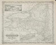 |
New York 1854 State Map with view of Niagara Falls - 10x014 | |
Charles Magnus | 1854 |