
 Cart
CartLocation Search results for "Liberty" in Washington
Map Matches for "Liberty" (13) in Washington
Click on a column header to sort results table.


Atlas Matches for "Liberty" (0) in Washington
You may find "Liberty" in these Washington atlases:
Click on a column header to sort results table.
| Atlas | Publisher | Date | ||
|---|---|---|---|---|
 |
Spokane County 1912 |     |
Geo A. Ogle | 1912 |
 |
Spokane County 1905 | |
Fidelity Abstract Co. | 1905 |
 |
Spokane County 1950 | |
Metsker Maps | 1950 |
 |
Spokane County 1980 to 1996 |  |
Metsker Maps | 1980 |
 |
Spokane County 1984 | |
Metsker Maps | 1984 |
 |
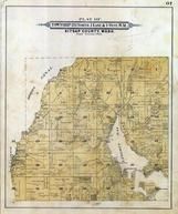
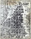
Kitsap County 1955 | |
Metsker Maps | 1955 |
 |
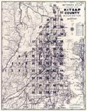
Kitsap County 1940 | |
Kroll Map Company | 1940 |
 |
Kitsap County 1909 Microfilm | |
Anderson Map Co. | 1909 |
 |
Kitsap County 1973 | |
Thos C. Metsker | 1973 |
 |
Kitsap County 1970c | |
Thos C. Metsker | 1970 |
 |
Kitsap County 1970c Wall Map |  |
Thos. C. Metsker | 1970 |
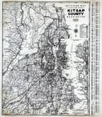 |
Kitsap County 1980 to 1996 | |
Metsker Maps | 1980 |
 |
Kitsap County 1926 | |
Metsker Maps | 1926 |
 |
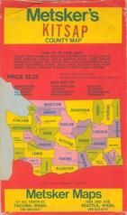
Kitsap County 1987 | |
Metsker Maps | 1987 |
 |
Kitsap County 1909 | |
Anderson Map Co., Inc | 1909 |
 |
Yakima County 1934 | |
Chas F. Metsker | 1934 |
 |
Yakima County 1960 | |
Metsker Maps | 1960 |
 |
Yakima County 1980 to 1996 | |
Metsker Maps | 1980 |
 |
Yakima County 1959 | |
Metsker Maps | 1959 |
 |
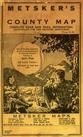
King County 1945 Vols 1 and 2 | |
Kroll Map Company | 1945 |
 |
King County 1912 | |
Kroll Map Company | 1912 |
 |
King County 1907 | |
Anderson Map Co. | 1907 |
 |
King County 1936 | |
Chas. F. Metsker | 1936 |
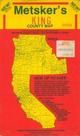 |
King County 1994c | |
Thos. C. Metsker and Mark F. Metsker | 1994 |
 |
King County 1949 | |
Chas. F. Metsker | 1949 |
 |
King County 1940c | |
Chas. F. Metsker | 1940 |
 |
King County 1950c | |
Chas. F. Metsker | 1950 |
 |
King County 1950c Hand Revised 1957 | |
Chas. F. Metsker | 1950 |
 |
King County 1980 to 1996 | |
Metsker Maps | 1980 |
 |
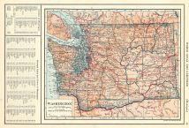
Washington 1878 State Map |  |
J. K. Gill & Co. | 1878 |
 |
Washington State Map 1917 | |
L. L. Poates | 1917 |
 |
State of Washington Highways 1950c | |
Chas. T. Metsker | 1950 |
 |
Washington 1866 State Map | |
Wilson, Joseph S. | 1866 |