Address Search


Address: City: State:

Results for "Latitude 41.442115, Longitude -71.483584"


View this Location in Historic Earth
View these maps overlayed on top of a modern map. You must be a member and logged in to use this feature.


Environmental/Land Use Products
Purchase a series of maps or images documenting the environmental or land use history of this location.


A variety of printed products can be purchased by clicking on each individual map in the results below.
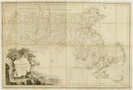
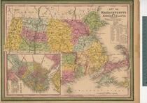
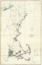
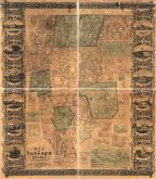
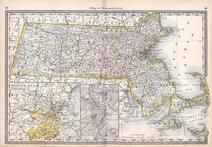
Click on any of the maps below to view a large, zoomable map.

Kingstown South, Kingston, Narragansett Pier
Rhode Island State Atlas 1870

show address on this map
D. G. Beers & Co. 1870
Massachusetts 1790c MHS Digital Image 5055

show address on this map
Jeremy Belknap 1790c
Massachusetts 1802 MHS Digital Image 2113

show address on this map
Osgood Carleton 1802
Massachusetts and Rhode Island 1850 MHS Digital Image 5155

show address on this map
Unattributed 1850
Maine to Rhode Island 1851 Coast Survey Chart

show address on this map
A. D. Bache Superintendent 1851
New London County 1854 Wall Map

show address on this map
Walling, Henry Francis 1854
Windham County 1856 Wall Map 44x54
Windham County 1856 Wall Map

show address on this map
Eaton, Wm. C. 1856
Tolland County 1857 Wall Map 44x49
Tolland County 1857 Wall Map

show address on this map
Eaton, Wm. C. 1857
New York, New Hampshire, Vermont 1864 Mitchell Plate

show address on this map
S. Augustus Mitchell 1864
State Map - Connecticut Massachusetts Rhode Island
Litchfield County 1874

show address on this map
F. W. Beers & Co. 1874
Massachusetts
Wells County 1881

show address on this map
H.H. Hardesty 1881
St. Croix and Hudson Rivers and Lake Ontario Chart 1882 New England
St. Croix and Hudson River and Lake Ontario Chart 1882 New England

show address on this map
U. S. Coastal Survey 1882
New England 1883
New England 1883

show address on this map
Van Antwerp Bragg and Co. 1883
United States Map
Winnebago County and Boone County 1886

show address on this map
H. R. Page & Co. 1886
Land Survey of the United States
Cass County 1893

show address on this map
D.W. Ensign & Co. 1893
The World Map with Principal Cities of the Old World
Fillmore County 1896

show address on this map
Geo. A. Ogle & Co. 1896
United States Map
Genesee County 1899

show address on this map
Homer A. Day 1899
World Map
Rooks County 1904 to 1905

show address on this map
Geo. A. Ogle & Co. 1904
United States Map
Waushara County 1906c

show address on this map
C.A. McIntyre and C.H. Terril 1906c
World Map
Guthrie County 1917c

show address on this map
Kenyon Company 1917c